The SCEC Geologic Slip Rate Database (GSRD) provides a curated collection of peer-reviewed geologic fault slip rate estimates for faults in California, Nevada, and part of northern Mexico.
Understanding Earthquake Hazard from Geologic Slip Rates
Geologic fault slip rates act as long-term “speedometers” of tectonic motion, revealing how quickly stress accumulates along a fault over thousands of years. As key inputs to seismic hazard assessments, these data inform building codes, infrastructure design, and disaster planning. The SCEC Geologic Slip Rate Database (GSRD) brings together field-derived estimates for faults in California, Nevada, and northernmost Mexico, giving engineers, policymakers, and the public a clearer picture the average rates of motion of faults.
Bringing the Full Range of Slip-Rate Data into View
Geologic slip-rate estimates are not always easy to access. They are dispersed across journals, technical reports, theses, field guidebooks, and earlier earthquake-hazard compilations. The GSRD brings them into a single resource, making it easier to find information for a particular fault or region and access relevant publications where available. Intended as a living archive maintained through SCEC community input, the GSRD includes a map-based Explorer for quickly searching slip-rate estimates and connecting with the underlying research. LEARN MORE
CEMs are collaborative platforms featuring community-contributed data, models, and tools for earthquake system analysis. CEMs enable 3D visualization, data exploration, sharing, and integrated analyses.
Geologic Slip Rate Database (GSRD) geologic slip rates for CA, NV, and northern Mexico
SCEC’s GSRD centralizes field-derived geologic slip rates crucial for seismic hazard estimates (e.g., NSHM), linked to relevant source publications. As a living archive, it welcomes updates via a user submission form.
Community Fault Model (CFM) 3D geometric representations of faults in California
CFM is an object-oriented, 3D representation of active faults in California, including geometries, depths, and slip potential. Explore and download data for use in fault system modeling, seismic hazard analyses, and other applications.
Community Stress Model (CSM) suite of stress and stressing rate models
The CSM provides estimates of stress and stressing rates for various regions of California. The suite of models, derived using a variety of methods and datasets, are presented on a consistent grid.
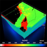
Unified Community Velocity Model (UCVM) software for accessing seismic velocity models
A standard interface to multiple seismic velocity models that can be used to create velocity meshes for 3D wavefield simulations. UCVM is used by researchers working with Earth material properties on regional or local scales.
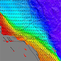
Community Geodetic Model (CGM) Earth surface displacement from GNSS and InSAR
The CGM integrates high-precision GNSS and InSAR data to provide velocities and time series of Earth’s surface movements. Data comes from a number of contributing researchers, institutions and analysis centers.
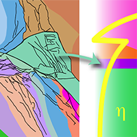
Community Rheology Model (CRM) 3D ductile rheology of lithosphere in California
The CRM provides a detailed, physics-based 3D model of ductile rheology (rock flow) for Southern California’s lithosphere. The explorer provides an interface to query temperature, pressure, and rheology data.
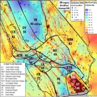
Community Thermal Model (CTM) estimates of temperature and thermal properties
The CTM provides estimates of temperatures and thermal properties of the southern California lithosphere and asthenosphere. Currently, the CTM includes two models, each based on different methods.
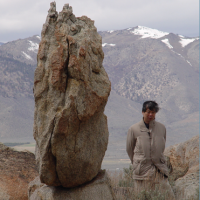
Precariously Balanced Rock (PBR) Database field-derived data for PBRs in California
The database contains photographs, locations, and metadata for PBRs, valuable for constraining seismic hazard estimates and validating ground motion predictions. An interactive map viewer facilitates data exploration and querying.
Supporting earthquake-cycle modeling with geologic slip rates
The GSRD provides foundational long-term slip-rate data for SCEC’s UNREST Technical Activity Group, which integrates these data with paleoseismic histories and fault geometry to refine multi-cycle rupture scenarios, strengthen earthquake-cycle model tests, and improve time-dependent rupture forecasts. These efforts will contribute to a digital twin framework for California’s fault system.
Connecting established hazard model inputs with new slip-rate results
Field-derived geologic slip rates are critical to seismic hazard estimates such as UCERF3 (Field et al., 2013) and the USGS National Seismic Hazard Model (Hatem et al., 2022a, 2022b). By bringing together data from these efforts with new and revised sites linked to source publications, the GSRD makes it easier to examine established hazard-model inputs alongside more recent results.
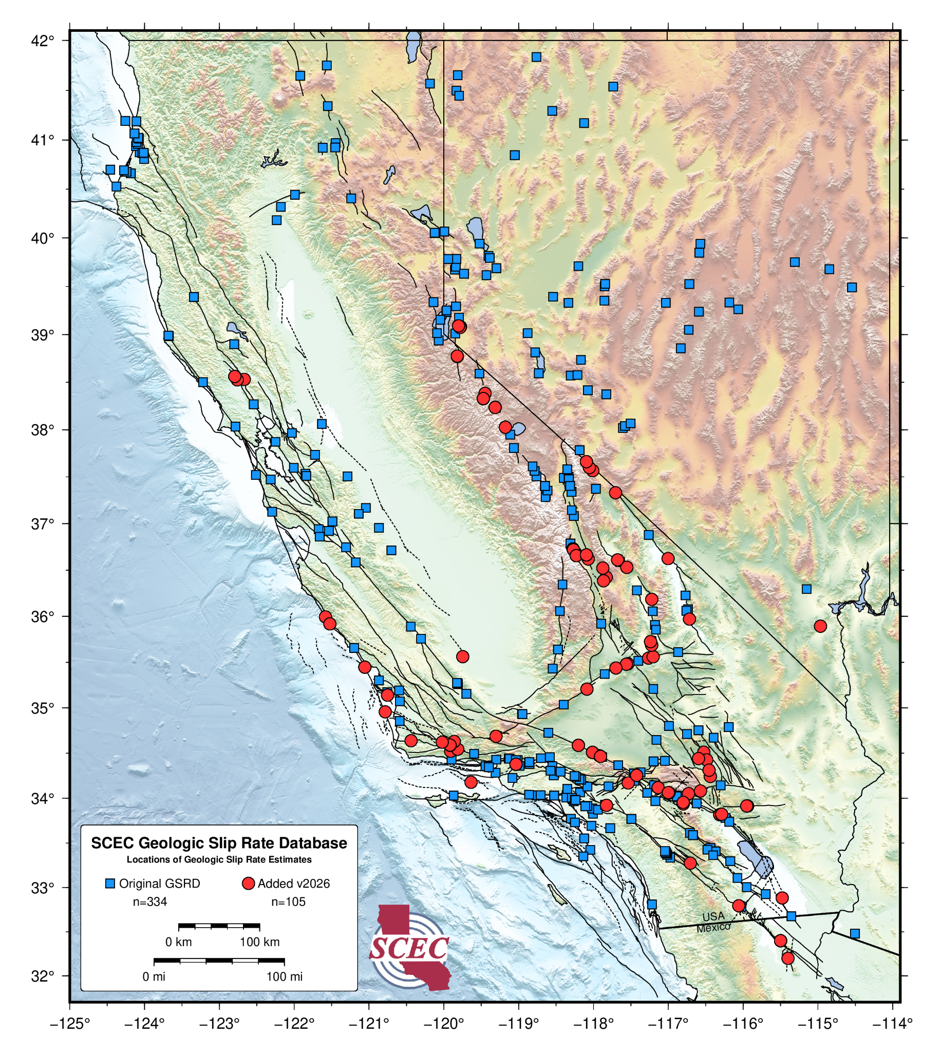
The SCEC Geologic Slip Rate Database (GSRD), version 2026.08, contains 105 new or revised sites with full data and metadata descriptions. The database now comprises 439 sites across California, Nevada, and northernmost Mexico. For the first time, the GSRD includes sites not found in the USGS NSHM23_EQGeoDB_v2 compilation (Hatem et al. 2022a, 2022b). [Describe the geographic or scientific scope of these additions.] Version 2026.08 builds on the initial 2023.09 release, which drew from that USGS dataset and earlier estimates compiled in UCERF3 Appendix B (Dawson and Weldon, 2013). LEARN MORE
Key Technical Developments
The GSRD organizes field-derived geologic slip-rate estimates for faults across California, Nevada, and adjacent regions into a consistent, accessible resource. Key developments include:
Structured data and metadata: Each site includes location, slip rate, uncertainty where available, references, and study information. The GSRD focuses on geologic field measurements rather than geodetic measurements or categorical hazard-model rates.
Connections to source studies: Where available, links to online source materials are provided as a convenience to help users locate and understand the associated research.
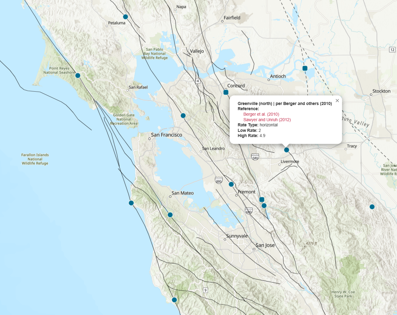
Searchable map-based access: The GSRD Explorer supports searches by fault or site name, slip-rate filtering, map-based selection, and downloads of selected site data and metadata.
Interoperable data and comparisons: The database is available in Excel, CSV, and KML formats. Users can overlay SCEC Community Fault Model faults or upload KML and KMZ datasets for comparison.
A community-supported archive: Planned periodic releases and a submission form allow users to identify new, missing, or inaccurate information for future updates.
For those interested in the SCEC GSRD project and contributing, the background page offers essential information to get started.
The SCEC Geologic Slip Rate Database (GSRD) Explorer
Explore geologic slip-rate sites in an easy-to-use 2D map. Search by fault or site name, filter by slip rate, select sites, review associated data, metadata, and source links, and overlay SCEC Community Fault Model faults for comparison.
Open-Source Software and FAIR Data
The Statewide California Earthquake Center (SCEC) prioritizes access to its software tools and data by both the scientific community and the public. Through open-source software and FAIR (Findable, Accessible, Interoperable, Reusable) data practices, we strive for SCEC software and data to remain discoverable, usable, and citable for future research.
Proper Acknowledgement & Citations
To ensure proper credit for the development and use of SCEC Community Earth Models, we kindly request that you cite the specific model(s) you utilize in your research or for other applications. This helps track usage and acknowledge the contributions of the many model developers and researchers, who have invested significant effort and expertise to advance SCEC Community Earth Models.
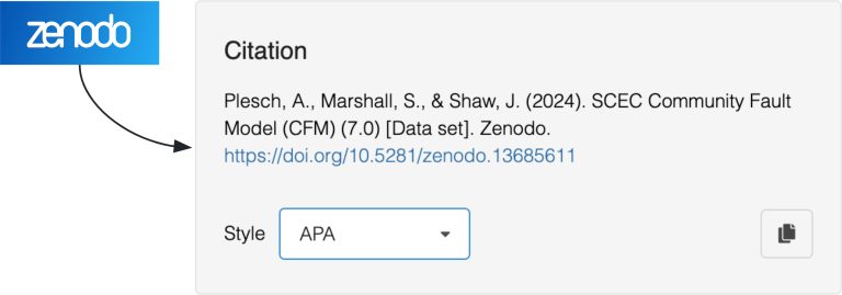
Most models have Digital Object Identifiers (DOIs) on Zenodo. Use the links below to find the appropriate citation: